Showing posts with label Waitakeres. Show all posts

Sunday, 14 March 2021

Lake Wainamu Track, Bethell’s Beach Te Henga

Date: 12 March 2021

Party: Anna, Elizabeth, Lesley

Map: https://www.wildernessmag.co.nz/trip/lake-wainamu-loop-track-waitakere-ranges-regional-park/.     https://www.wildernessmag.co.nz/wp-content/uploads/2017/09/Lake-Wainamu-Loop-Track.pdf

Distance / Elevation / Time: 6.3 km; minimal elevation; 2 hours 5 minutes

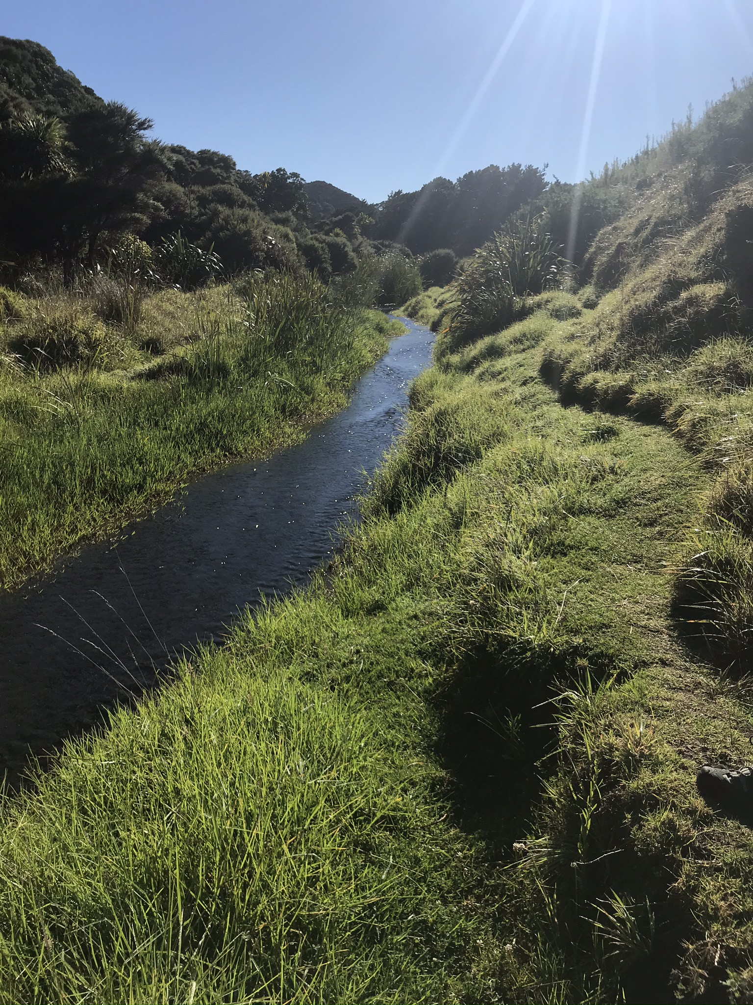
Notes: We were lucky enough to have another stunning day to revisit this track, which has so many lovely features. Last time we were here, Barbie guarded the gate to the track, and it was midwinter, July 2015. We decided to skirt the dune on the way in, and return over the top. A hot summer might explain the really low stream levels on the way to the lake and the murkier lake water, although a new ‘jetty’ and the calm water make it picture postcard pretty. Just before we got to the lake Anna pointed out that the long ridge of dune behind us looked just like a tsunami of dirty water coming towards us. Thanks for that unforgettable image, Anna! We had lunch at Waitohi Falls, where wasps lurked everywhere. Nice spot, though, and someone had tied a knotted rope to a tree so you can climb up higher to the many rock pools. Pou still stands. The nikau on the other side of the lake are still impressive, not so much the toilets (bugs). Crossing the dune is straightforward from this side, as you gain enough elevation via some stairs to access the top without a huge uphill slog. Lots to see, an easy stroll, and a well- deserved piece of Louise cake at our favourite cafe out west, The Swanson Station Cafe.

*Also, while I remember, the order of the major beaches from north to south is May Brian Anna Peter Keep Well - Muriwai Bethells Anawhata Piha Karekare Whatipu




Saturday, 3 September 2016

Piha Rd car park – Upper Huia Dam Track – Upper Huia Reservoir – Tunnel - Lower Huia Reservoir - Smiths Road Bridge - Return

Date: September 2, 2016
Party: Anna, Lesley
Maphttp://nztramper.com/upper-huia-dam-track-christies-track-upper-nihotupu-walk-waitakere-ranges/
Distance: 16.5 kms
Elevation: Not sure
Time: 5 hours 20 minutes
Notes:
For a number of reasons, we have not headed out West for what seems like an age. So even as the clouds gathered ominously, and the country headed to higher ground after a 7.1 magnitude earthquake off the East Coast, we cheerily drove off for an extended visit to the West. The Te Atatu motorway exit has become such familiar territory, as have Lincoln Road, the railway underpass, and the left-hand turn at the Gull service station, where you can relax after spotting the Piha sign. So it's almost unimaginable that we still have to give it serious thought before we commit to the off-ramp! (Perhaps our insistence on ignoring the GPS lady has something to do with it...) The walk Anna had chosen was one we have not previously done, which is pretty strange, given the territory that we have covered over the years. We decided to do only a part of it today, as a recce - to go as far as we felt like and then turn back. We'll do the longer walk shown in the map when Elizabeth is available. One of the things we have come to realise is that if there is a sign at the start of a Waitakere track saying 'experienced trampers only' you are guaranteed mud, tree roots, stream crossings, steep terrain, narrow paths, splendid isolation, and a full-body workout. So no surprises about five minutes into the track when we were fully concentrating on our foot placements between tree roots, and sliding (ok, and squealing) down the rest of the track. In the rain. But what a beautiful track! Fantastic bush, with several stream crossings, and water rushing along the gullies. Mossy banks, a lovely pool and a man-made cave, before there were peeks of dam, and great stretches of still water. We walked the length of the dam to check the track at that end - still closed due to Kauri die-back - and getting pretty overgrown. We descended to the Watercare buildings, and strolled on to find a spot for morning tea. Enter a white Watercare car. Exit a Watercare car. Followed about 20 minutes later by a Park Ranger and a passenger. Turns out they were looking for a suitable environment for Hochstetter frogs, who need still water, a shingle riverbed, and things to hide under. That got our curiosity going and we spent a bit of time as we walked considering suitable places for them. There was a tunnel a little further along the track to the Lower Huia Dam, which of course we had to investigate. A sign warned us that we needed industrial-strength safety helmets before we could dare enter the Beast. We ignored this (naughty) and found we didn't even need the torches we had carefully packed. No glow worms either. I did like the warning about soil and rocks 'frittering' into the tunnel though. Like they had nothing better to do. We reached the Lower dam after one of those boring forestry roads that mess with your mind - they just leave nothing to the imagination in terms of interest or destination. This dam is one we have visited before, and is full of reeds, probably eels, and is lovely in the sunlight. (Yes! thank you Auckland weather!) We had lunch back at the Watercare buildings, in the sun, and ANOTHER Watercare vehicle drove up...this time to test the water. Given the recent problem in Hawke's Bay, it was reassuring to hear that the water here is tested every two weeks for greeblies. Having consumed our lunches, we steadied ourselves for the ascent into the mud, CSI Meadowbank tracking the Ranger's passenger (who we decided must be a global expert on Hochstetter frogs) as we went. 


Thursday, 4 August 2016

Deco Eatery - Exhibition Drive Track - Vevo Cafe

Date: July 29, 2016
Party: Anna, Elizabeth, Lesley
Map: 

Distance: 13 km
Elevation: Not much...until we took a side road down to the dam
Time:2 hours 20 mins
Notes: Threatening rain convinced us to stop first at the Deco Eatery - the relatively newly-renovated cafe at Lopdell House in Titirangi - for a coffee and to keep a weather eye out those windows on the passing squalls: 
Our timing was perfect, the squalls headed off to Auckland, and we headed off to the Exhibition Track car park:
The track is wide and gravelled, running parallel to Scenic Drive, although you wouldn't know it. A great cycling and running track. It was a pretty straightforward walk, still a bit muddy from all the rain, with some historical signage here and there. We thought we could make it to the dam, but came across a bit of a deep stream that we couldn't cross, so turned around and walked back. Next time we thought a trip up Beveridge Track would be interesting. It was the track that the lost group we came across some months ago were supposed to take but ended up miles away after a very long walk!

Monday, 7 March 2016

Parau Track - Kakamatua Ridge Track - Farley Track - Panto Track - Parau Track

Date:  Friday 4 March 2016
Party:  Anna, Lesley and Elizabeth


Distance: 14.5 km.  Time:  4 Hours 45 min.
Notes: Apparently this is the first trip in the Waitaks that the three of us have managed to do together this year.  So there was much to discuss.  This is a circuit we have done several times before and it provides a good stretch of the legs with much mud, many tree roots and a couple of very steep ascents and descents.  It doesn't have the stand-out views of some tracks but there are lovely glimpses through the bush of harbour, bays and valleys along with a couple of very pretty streams to cross.

Just for variety we parked by the locked gate on the Huia Dam Road and set off up Parau Track from the West.  This track is now well marked as the temporary route for the Hilary Trail while the Lower Huia Dam Road remains closed because of a slip.  It is well sign posted but definitely one of the rougher sections of the Hilary Trail.  It was a gorgeous, hot, sunny day and we were very happy to have the shelter of the bush for virtually the entire walk.  At various points along the way there are groves of young kauri, nikau and tree ferns, all of which were looking splendid in the dappled light.  

We were trudging back along Parau Track at about 12.30, looking forward to lunch [left overs for me which had leaked all through my pack, left overs for Elizabeth too I think, but more artfully presented than mine.  Lesley on short rations due to an empty fridge, produced a scratched together Vogel's sandwich with a smidgeon of lettuce and tomato by the look of it].  Anyhow, while we were still in anticipation mode we happened upon a group of three women who fell upon us with enormous relief declaring they were completely lost!  Such excitement, especially when we learnt there were nine more souls a little further down the track including a 71 year old.  That is not old in my books, as was borne out when we met her at the end of the day.  I felt ever so important being able to flash my phone with GPS in operation plus an old fashioned paper map and point out exactly where they were. Their relief at suddenly not being lost any more was tempered by consternation at the news they were about an hour and a half's walk away from rescue.  I tried to cheer them up by alerting them to the beauty of their surroundings and the flutter of kereru wings in the branches above us - Lesley was more sensitive to their complete disinterest in anything other than escaping the Hell they found themselves in.  It was meant to be a gentle stroll from the Arataki Visitors' Centre followed by lunch on Waiheke Island for the group of foreign visitors here on a company junket.  Oh well, I am sure the experience was great for team bonding.  We came upon a park ranger at the end of the track who told us it is a not uncommon occurrence.  It certainly made the back end of our trip go quickly as we speculated on the whys and wherefores of it all.

After all that excitement we repaired to the Huia Foodstore for refreshment and were just making our way back into Titirangi when we came across our lost souls, no doubt asleep,  in their very large bus. I am not quite sure why but we ended up taking a wrong turn and following them, so it was our turn to be lost.  They turned [that's a lot of turns] into a vineyard, we dug out the GPS on the phone and headed for the motorway.

Saturday, 20 February 2016

Whatipu circuit - Donald McLean Track - Karamatura Forks - Huia Ridge Track - Walker Ridge Track - Orange Peel Corner - Walker Ridge Track (cont.) - Gibbons Track - Omananui Track - Puriri Ridge Track - Mt Donald McLean Car Park

Date: 12 February 2016
Party: Anna, Lesley
Map: http://trampaddicts.weebly.com/whatipu-circuit.html


Distance: Nearly 15km
Elevation:


Time: 5 hours 20 mins
Notes: From the start at Mt Donald McLean car-park this had the makings of an interesting tramp. We pulled our car in behind a wee suzuki, whose driver was the most ancient man we have seen out in the Waitakeres. He must have been at least 80, with a dodgy old-school pack, a stick, rheumy eyes and a hat a Boy Scout would have been proud of. As we got ourselves organised, he mumbled something then trundled off down the road. We hit the track, and discovered him at the first junction, where he mumbled some more and headed in the opposite direction to us. Well, we collectively thought, glad I am not going in the same direction as him/them! (More of him later...).This is a pretty straight forward tramp (initially) with signs at regular intervals and well-groomed tracks. There are some totally amazing views from Gibbons and Omananui Tracks out across the harbour, where you can see the confluence of harbour/sea and the sand bars which make this a very tricky stretch of water to navigate. The colours on this incredibly hot day were New Zealand classics, with the sharp blue sky and the peacock blues and turquoises of the water. The toi toi and pampas grasses were out (see Anna's photo) - it could not have been a more perfect day.

You can see on the elevation map that there is a significant downhill stretch, followed by two peaks. The Gibbons Track goes downhill to meet the lodge/camping area at Whatipu (where we saw a few campers and enjoyed a toilet break), then if you scan the way forward, and chance to look up, you see the trig. We have been here before, and know that there is a nice bench on the first peak, before you descend and then ascend again to the trig. It looks exposed and hot. But we've done it before, right? It's too hot for me. We hit the bench peak and have a drink and admire the ever-expanding view, then down-up on the way to the trig. I have to stop about 3/4 of the way to the trig, feeling buggered. We have to progress in 10 step increments. We are almost at the top when we spot...80-year-old-man. Coming down from the trig. He has gone in the opposite direction to us, has summited, and is now on the way to WALK THE REST OF THE TRAMP, and reckons he will be out about 6 pm. He has not even broken a sweat, and chats with Anna while I decide if I need to throw up or faint. Under the trig is too cramped for shade (we tried though) so we descend a bit, and eat some lunch. Munching happily on our sandwiches, we are surprised by a group of four, one with a go-pro attached to the centre of his chest. (What? Damn why didn't we think of that?!) The rest of the tramp seems lengthy (as things do when you are buggered) and we are disproportionately happy when the car park and beloved car finally appear. Love you, Golf GTi. We repair (literally) to the Huia Cafe and some light refreshments, and watch jealously as a stream of locals buy double-decker, freezing cold, melt-all-over-your-hands icecreams. We are slightly consoled by the fact that every one of them has a little extra padding...
Pampas grass


Heading up to the trig, 'bench' peak in background. Trying not to pass out in the heat.

Saturday, 23 January 2016

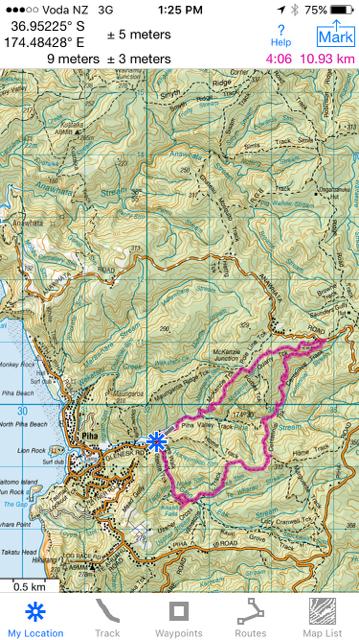
Glen Esk Road - Piha Valley Track - McKenzie Track - Quarry Track - McElwain Lookout - Centennial Track - Home Track - Connect Track - Kitekite Falls - Kitekite Falls Track - Glen Esk Road Car Park

Date: January 22, 2016
Party: Anna, Lesley
Map:


Distance: 11km
Elevation: 0-350 + 100-270 = 520 total


Time: Just over 4 hours, but we had an instagram stop (!) AND a longer lunch break than usual to watch the abseilers.

Notes: We are feeling the hot breath of Moss Pass in Nelson Lakes (March 2016) on our backs, so our first walks of the year are focused on elevation. Hills, and more hills. And lots of steps, just to mix it up. We discovered that the elevation difference between Blue Lake Hut and Moss Pass is about 600m (Moss Pass is 1785m high, Blue Lakes Hut is at 1190m, and it's about 1.7 km to the peak), so we are trying to make sure that we have a sense of how high and far it is, to consolidate our confidence. No paranoia here.... 

This is one of those walks you could recommend to someone else with a clear conscience. It has everything, and can be shortened or lengthened depending on what you want to do. The view from the lookout is amazing - we could see Te Toiokawharu in the distance and the west coast beaches stretching off to the right, with Piha directly in front of us. Hard to believe it had only taken a short while to get so far from where we had parked. We ran into Black Rock Dam on Centennial Track, which was in great shape - the water really clear and the remnants of the dam clearly visible in the structure. We wanted to have lunch at the falls, and joined the crowds of people (yes, crowds) soaking in the pools or canyoning or lounging on the rocks. What a novelty to come across anyone else! And as we walked down, we came across plenty of others headed up for a dip. The day was incredibly hot - late 20s - so that water looked pretty inviting. We loved the abseilers - one minute there was a sedate group of children splashing around, next there was a succession of people whizzing (or not) down the side of the falls. The instructor came down the ropes in the picture in about 3 seconds. We had coffee and gingerella (ok, and ginger crunch) at the Piha Cafe, which was really busy too - obviously we have never been to Piha in the summer! A great start to the tramping and walking year. Man, have we got plans!!


Gingerella
Steps up from the Dam
Kitekite Falls as we have never seen them before!

Black Rock Dam
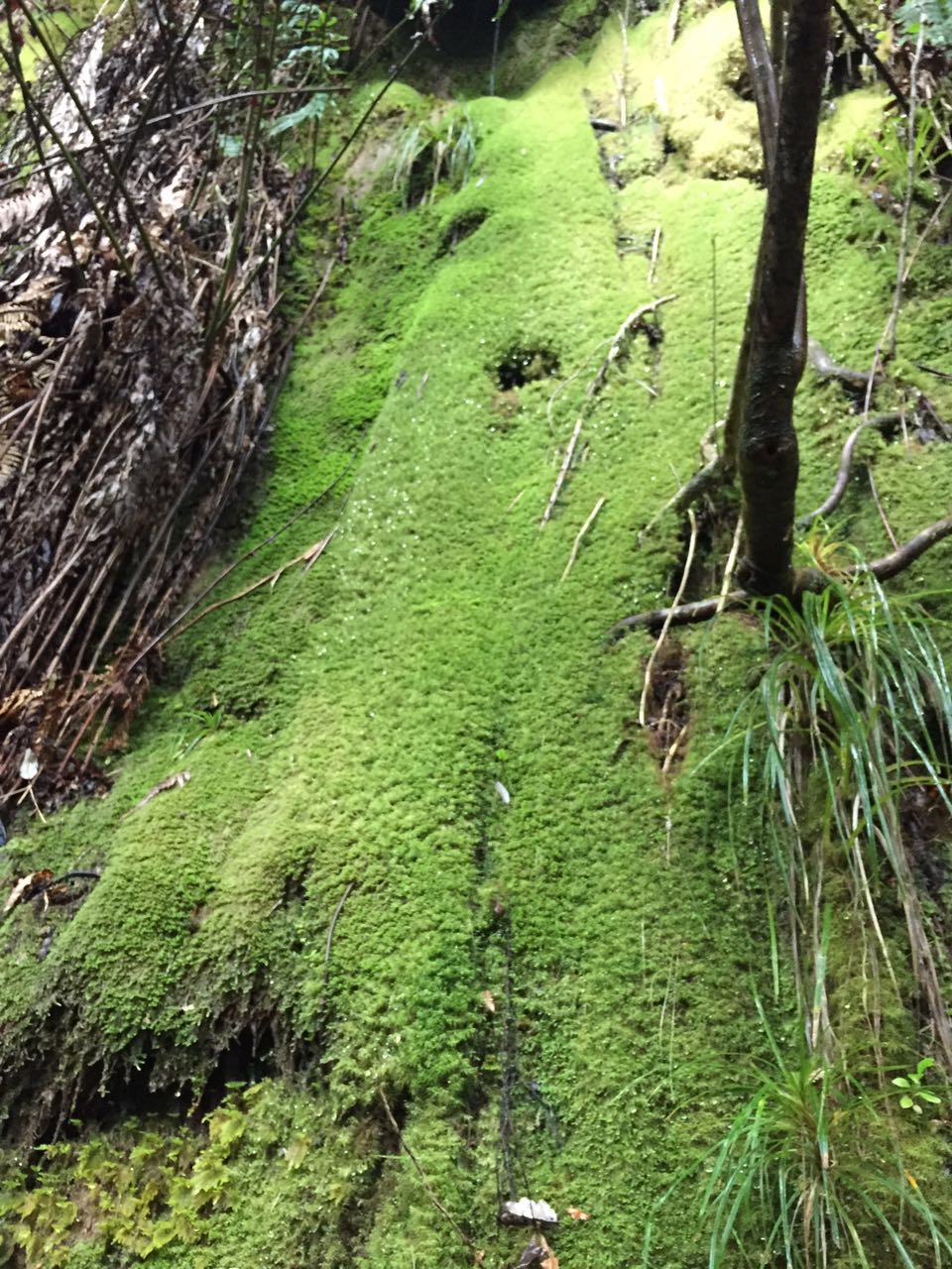
Moss
So graceful!
Boulder Blonde
Upstream
Scribbles!
Found washed up on a log...