Saturday, 12 April 2014

Goldie - Mokoroa Revisited

Date: 28 March 2014
Party: Anna, Elizabeth, Lesley
Map:
Distance:
Elevation:
Time:

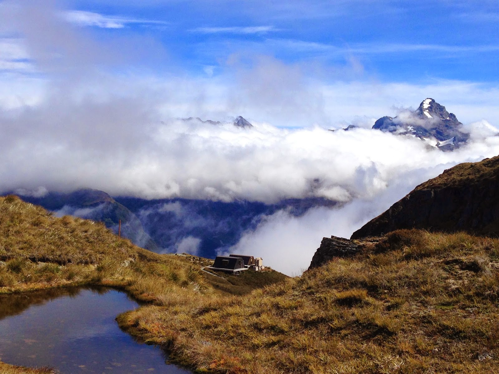
Last time we did this walk, we were a little bit cavalier with the orange markers and, ending up on the wrong side of the stream, had to perform a tricky manoeuvre around a rock/waterfall combo. THIS time we were Experienced Trampers, and paid more attention! This is the first walk we have had, too, in which full immersion of the boots for a lengthy period was required. Quite...refreshing? A lovely walk, just perfect after the Routeburn.


Tuesday, 18 March 2014

Greenstone Track - Routeburn Track

Date: 18 March - 24 March
Party: Anna, Lesley, Elizabeth, Peter, Jane, Margaret, Mark, Debra, James
Map: https://www.ultimatehikes.co.nz/en/guided-walks/the-grand-traverse
Distance: 75k
Elevation: 1600 at Conical Hill
Time: 6 days, 5 nights
Notes: Perfect awesomeness


Tuesday, 4 March 2014

Karamatura - Fletcher - Donald McLean - Mt Donald McLean - Karamatura

Date: 28 February 2014
Party: Anna, Elizabeth, Lesley
Map:
Distance: 11 kms
Elevation:
Time: 3.75 hours
Notes:

Monday, 3 February 2014

Ian Wells Track - Cutty Grass Track

January 31, 2014.   Our first outing for the year.

Party:  Lesley, Elizabeth and Anna

Route:  Ian Wells Track and Cutty Grass Track
Time: 3 hrs 15.min

Time constraints put the kibosh on more ambitious plans and so we did one of the tracks written about in Bob Harvey's 1998 book Untamed Coast. [Yes, it has taken me a while to get around to it, which means there is a risk of unforeseen change over the last 15 years]  The traffic roaring down the road to Piha completely put us off doing a loop that would involve road walking and so we went out and back, past the Nihotupu Auxilliary Dam and along the very beautiful and atmospheric Ian Wells Track.  The incline is very gradual and so although you cover a reasonable distance it is not too arduous.  At the junction with Cutty Grass Track it was a toss up whether to go left or right.  We chose the Anawhata direction purely because we had driven via Scenic Drive and it felt as though it might offer something different.  Cutty Grass Track is pleasant but unspectacular, a wide clay track running beneath a line of power poles.


Attention to large round, red track markers on the Ian Wells Track reassured us we were on the right path, hard to miss, even though the track was labelled "Experienced trampers only".  Who could possibly ever veer off the track? Cough, cough.


Owing to some confusion about which West Auckland roads lead where, we ended up, unintentionally, at Falls Cafe in Henderson for a post walk coffee and carrot cake.  A pretty and pleasant spot to relax but not particularly remarkable for food or coffee.

Thursday, 19 December 2013

Lone Kauri Road Loop

Date: 19 December 2013
Party: Anna, Elizabeth, Lesley


Notes:Map:
Distance: 11 km
Elevation:
Time: 4 hours

Thursday, 5 December 2013

Butterfly Creek, Eastbourne

Date: 6 November 2013

 Party:  Anna, Brian, Paul [Not strictly LWG]

 Map and Elevation:


This is such a great walk.  First you climb to the ridge with wonderful views out through wind beaten scrub to the harbour and heads, Somes Island, Ward Island and Wellington city.  Oops I forgot to take any photos of the view.  Then you descend through beautiful beech forest to the creek.  Oops, forgot to take any photos of that too.   In fact I only remembered to take a photo when I saw the pretty little white flowers by the path on the climb back up to the ridge.  I thought they were orchids but now I am not so sure.

No idea how long we took but it was about 5.5km.

Wednesday, 4 December 2013

Anna's Lucky Loop

Date: 29 November 2013

Party:  Lesley, Elizabeth, Anna and Vivienne


Map and elevation:


Tracks:  Whatitiri, Long Road, Fence Line, Auckland City Walk

Distance: 13.5km.

There were omens - Anna chose a white teeshirt for the day, her pack fell out of the car in the car park into a muddy puddle, then rolled over in that puddle.  We had a guest walker.  In retrospect it was obviously the day something was going to go wrong...

But it was all good.  Elizabeth's Epirb had its first outing in her back pack and remained untouched.  Anna's iPhone tracked our every step and we were never lost, just off piste for a bit.  As it turned out the pink markers we were following marked bait traps, not the track.  After scrambling up and down slippery banks and bush whacking through valleys of parataniwha [thank you Lesley for identification] Vivienne was heard to remark that her Annapurna trek was a doddle.  Elizabeth made the wise call to back track and reluctantly we undid all our hard work and some long way back re-connected with the proper track.  I blame the beautifully mown path that misled us all the way to the start of the pink markers.

Having set out again on the right course we deviated from the original plan and followed the Montana Heritage track out to the Waitakere Reservoir and back along Fence Line track, a route which we knew would be both well marked and very scenic.  At least when asked how she enjoyed the tramp Vivienne could say that the Kauri were spectacular.  We came home via the rocky road at the Swanson Railway Station Cafe.

Very sore thighs the next day.

Time: 5 hours, including lunch on the conveniently situated seat overlooking the reservoir.


Ducks in a car park puddle.