Sunday, 7 September 2014

Lynfield Cove Reserve - Wattle Bay - Waikowhai Bay - Cape Horn - Coastal Walk

Date: 5 September 2014
Party: Anna, Lesley
Map:http://www.aucklandcouncil.govt.nz/EN/parksfacilities/walkingtracks/Documents/manukauwalkwaysoverview.pdf
Map:http://www.aucklandcouncil.govt.nz/EN/parksfacilities/walkingtracks/Pages/manukaucoastalwalks.aspx

Distance: 9km
Elevation: From below sea level to 70m

Time: 2 hours 45
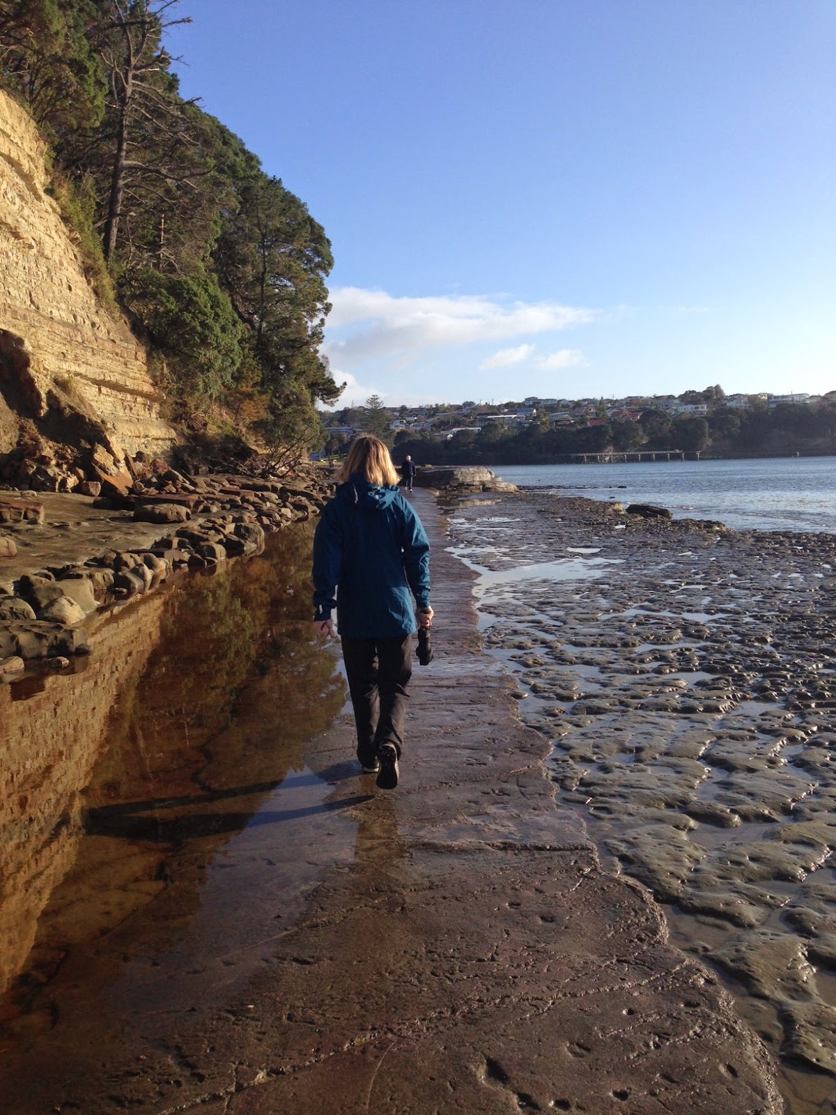
Notes: We started at Lynfield Cove Reserve, after following the dizzying instructions of the GPS lady (can they really not get her to say Ave, or Rd? All that technology and she still speaks Latin?) We set off up, then down, then up, then up a bit more then down. I would be lying if I said I knew where, exactly, we went. Anna fell over. She was covered in mud, and whacked her vertebra on the way down. We snapchatted this to Elizabeth, home in bed with the 'flu, who no doubt appreciated that she was home safe in bed and not being subjected to the upness and the downness and the slippery mud. We walked across a lot of slippery beach too. We decided mud had a profound effect on the real estate on this harbour, as opposed to that Other One. There were crunchy oyster shells to walk on and a mysterious house in Cape Horn with its own sign, but no sign of life. The best part was the huhu grub which should have its own show:


Checking, checking...

Mangere mountain

Mud Lark


Wednesday, 13 August 2014

Broken Hills: Water Race - Collins Drive - Main Range Track - Billy Goat Incline Track - Hihi Trig - Main Range Track

Date: 10 August 2014
Party: Anna, Elizabeth, Lesley
Map: Broken Hills Recreation Area
Distance: 7 km or so to Hihi Trig
Elevation: 730m
Time: 6 hours 10 minutes
Notes: Sunrise - where it was cold enough to see mist rising off the water like steam. When we left, the car dash was showing 2 degrees, then 0, so we had the full complement of gear on by the time we got to the start of the track. Again we headed off, then almost immediately doubted our judgement about where the track went. Perhaps a combination of tracks being only sketchily marked on most maps, some of the signage being a little unclear, and our own need for exactitude! The water race track was great fun - man-made, muddy, but you could envisage water roaring along it. We passed a number of small tunnels and areas cut from the mountain for girders etc., before we got to the 500 m Collins Tunnel...we LOVE tunnels! Usually when we head into a tunnel the temperature drops - here it was so cold outside that the tunnel was comparatively warm. Quite a few glow worms, especially at each end, and plenty of different types of rock. From here it was pretty much a relentless climb to the trig through regenerating bush. Probably not in the same class as the Waitakeres, but with its own charm. Plenty of 'scribbles' (supplejack). We had been walking for about 3 hours and were not sure how far away the trig was, when we came across a sign for the Billy Goat Incline Track. This took us to the summit via a classic damp, spongy, muddy, short track, which opened onto a lovely piece of mossy ground, and we completed the climb with a short walk through to the trig (more of an alien spacecraft than a traditional trig). And then we had lunch, took a selfie at the summit, remarked on the view, exclaimed at the lack of wind, checked our emails and texts and snapchats (well, some of us did - some of us were more mindful). Back down the track, with the unsteady among us (LV and EW) experimenting with vertical drops to test out the fortitude of our glutes. Ouch. We returned via a slightly different route, omitting the tunnel. Home to a soak in the spa and a vino. A very pleasant combination.


Cathedral Cove - Whenuakite Kauri Loop Walk - Twin Kauri Scenic Reserve

Date: 9 August 2014
Party: Anna, Elizabeth, Lesley
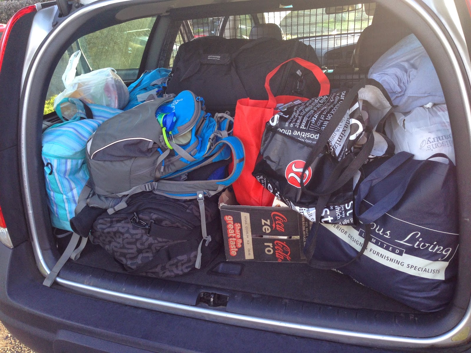
Notes: Having learned nothing from previous trips about Packing Lightly, we set off for Pauanui and Elizabeth's family bach about 8.15am, arriving there a couple of hours later. We ogled the view and sorted ourselves out, then headed off to lunch at Colenso. Mmmmm. Then on to Cathedral Cove, which could not have been more stunning. Perfect day, not too many tourists, a good walk to the Cove and back, with a little side trip to Gemstone Bay (sorry Stingray Bay - we just did not feel the love!).

(One Very Important Thing we learned on this trip was How To Light a Proper Fire. I for one was astounded at the prowess of one of our members in this department. Who knew? Ask her about dongers, but don't google it forgodsake.)


Friday, 1 August 2014

Montana Heritage Trail


Date: 1 August 2014
Party: Anna, Lesley, Mary
Map:
Distance: nearly 11 km
Elevation: 325m
Time: 3 hours 10 mins
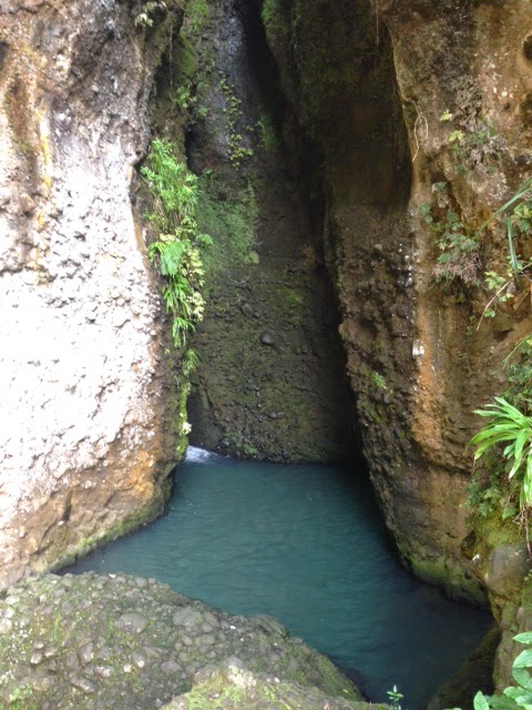
Notes: Looking for an interesting walk for Mary, who had not walked with us previously, we settled on one we had enjoyed before. Lots of up and down, amazing kauri and great bird life. We finished the walk at the Waitakere Dam end, and guiltily headed down the stairs as another small group came gasping and red up the dozens (and dozens) of stairs! The waterfall is worth the small walk off the track, although there is a bit of tricky boulder-climbing to get to the top of the boulder by the falls. The falls themselves are tucked away behind a rock face, so quite difficult to see unless you are prepared for a swim! As we arrived back at the car we had a quick flash of the white cockatiels that roost in the Waitakeres, screeching away into the sky. Bloody Australians.


Saturday, 26 July 2014

Elizabeth and her beau

Date: 25 - 27 July 2014
Party: Elizabeth and Peter
Venue: Mt Hutt


Canterbury Plains and sea beyond

Friday, 25 July 2014

Mairangi Bay - Browns Bay - Torbay - La Tropezienne - Mairangi Bay

Date: 25 July 2014
Party: Anna, Lesley
Map: http://www.teararoa.org.nz/auckland/
Distance: 11 km ish
Elevation: Negligible
Time: 3 hours, including coffee and cake at Browns Bay and rock pool investigations
Notes: Elizabeth was at Mt Hutt, heli-skiing, so we just had to do SOMETHING interesting. Ignoring the clouds and the Car B*^#4 who was trying to GPS us to South America, and planning for low tide so that we didn't get mermaided by an invading sea, we headed North. From Mairangi Bay we made our way across an above-ground sewage-line that has been covered in concrete and made to look like rock...really. And it does! From there up across the cliffs and back down to the beach until we got to Torbay, where we turned around and headed to La Tropezienne in Browns Bay. (Great coffee and a spectacular range of pastries and breads. Rhubarb and almond tarts may have been consumed in the interests of accurate reporting). We came back via as many rock pools and slippery rocks as possible, stopping with a motley collection of dogs in a toilet block after a lone heavy shower. (We are all class.) Lovely little green anemones, and everywhere a different type of rock. We were very taken with the swimming pool cantilevered out over the cliff, and the mysterious black sand at Murray's Bay. Oh and the jetty at Mairangi Bay. And the pigeons roosting in the cliffs. Not taken with the rocks gently falling down the cliffs.