Friday, 3 March 2017

Kohimarama to Tahuna Torea via Churchill Park and return

Date: March 3, 2017
Party: Anna, Elizabeth, Lesley
Map: 

Distance: 15 km
Elevation: 

Time: 2.5 hours
Notes: Another late summer day of gloriousness! So far we have had about two weeks of real summer weather, just as we head into autumn. We left Kohimarama in lovely morning light, watching swimmers and kayakers enjoying the water as we walked the coast. Our 'normal' Kohi walk extended itself to Tahuna Torea, where the daredevils took on the incoming tide on the spit (without being washed out to sea) and the rest of us waited bravely close to terra firma. It was incredibly hot, so we had to divert briefly for a drink, and then back to our favourite coffee shop where we were shown a deft bit of queue-cutting by a Roz. Anna's death stare may have had something to do with her immediate disappearance. (Cue this video..."I can kill you with a single thought"...) 


Takapuna to North Heads

Date: February 24, 2017
Party: Anna, Elizabeth, Lesley
Map: 

Distance: 13 km?
Elevation: 

Time: ?
Notes: 
Anna seeing if she left the lights on in her lounge!


Te Henga Walkway from Constable Road to O'Neill Bay Bay and return

Date: February 10, 2017
Party: Anna, Elizabeth, Lesley
Map: 

Distance: 13km

Elevation:
Time: ? 3-4 hours
Notes: This is one of the most stunning trips on a clear summer's day. Anna picked it just right, so there was hardly any wind and quiet seas. And the contrast between the dry foliage and the turquoise sea was unbelievable. We didn't go right down to O'Neill Bay, as we couldn't face going down then turning right around and coming back up, when we could see the Bay nicely from our elevated position. The only down side? Heaps of gorse right at the edge of the track. Ouch. And see that elevation grid? Those stairs at the beginning looked rather different on the way back up, in searing heat. Check out the beetroot face.


Saturday, 3 September 2016

RIP Sunny the budgie (aka Fat Boy)

Well, it had to happen. After nearly nine and a half years irritating the boys, screeching over the noise of the vacuum cleaner and making a catastrophic mess, Fat Boy died yesterday. Is it embarrassing to admit that I will miss him? His little blue budgie friend does not know what to make of it all.


Piha Rd car park – Upper Huia Dam Track – Upper Huia Reservoir – Tunnel - Lower Huia Reservoir - Smiths Road Bridge - Return

Date: September 2, 2016
Party: Anna, Lesley
Maphttp://nztramper.com/upper-huia-dam-track-christies-track-upper-nihotupu-walk-waitakere-ranges/
Distance: 16.5 kms
Elevation: Not sure
Time: 5 hours 20 minutes
Notes:
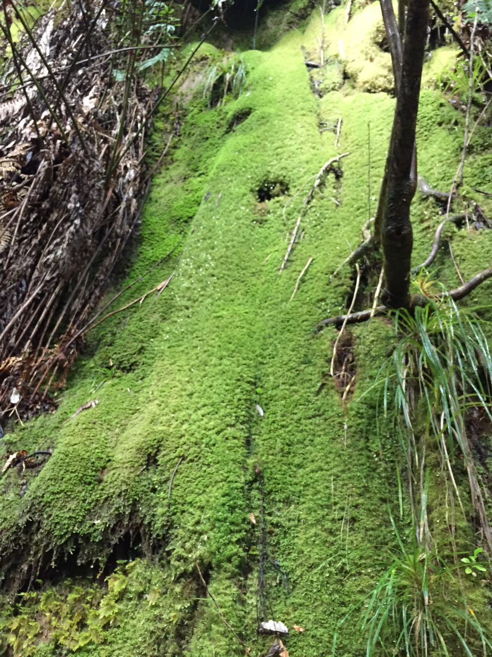
For a number of reasons, we have not headed out West for what seems like an age. So even as the clouds gathered ominously, and the country headed to higher ground after a 7.1 magnitude earthquake off the East Coast, we cheerily drove off for an extended visit to the West. The Te Atatu motorway exit has become such familiar territory, as have Lincoln Road, the railway underpass, and the left-hand turn at the Gull service station, where you can relax after spotting the Piha sign. So it's almost unimaginable that we still have to give it serious thought before we commit to the off-ramp! (Perhaps our insistence on ignoring the GPS lady has something to do with it...) The walk Anna had chosen was one we have not previously done, which is pretty strange, given the territory that we have covered over the years. We decided to do only a part of it today, as a recce - to go as far as we felt like and then turn back. We'll do the longer walk shown in the map when Elizabeth is available. One of the things we have come to realise is that if there is a sign at the start of a Waitakere track saying 'experienced trampers only' you are guaranteed mud, tree roots, stream crossings, steep terrain, narrow paths, splendid isolation, and a full-body workout. So no surprises about five minutes into the track when we were fully concentrating on our foot placements between tree roots, and sliding (ok, and squealing) down the rest of the track. In the rain. But what a beautiful track! Fantastic bush, with several stream crossings, and water rushing along the gullies. Mossy banks, a lovely pool and a man-made cave, before there were peeks of dam, and great stretches of still water. We walked the length of the dam to check the track at that end - still closed due to Kauri die-back - and getting pretty overgrown. We descended to the Watercare buildings, and strolled on to find a spot for morning tea. Enter a white Watercare car. Exit a Watercare car. Followed about 20 minutes later by a Park Ranger and a passenger. Turns out they were looking for a suitable environment for Hochstetter frogs, who need still water, a shingle riverbed, and things to hide under. That got our curiosity going and we spent a bit of time as we walked considering suitable places for them. There was a tunnel a little further along the track to the Lower Huia Dam, which of course we had to investigate. A sign warned us that we needed industrial-strength safety helmets before we could dare enter the Beast. We ignored this (naughty) and found we didn't even need the torches we had carefully packed. No glow worms either. I did like the warning about soil and rocks 'frittering' into the tunnel though. Like they had nothing better to do. We reached the Lower dam after one of those boring forestry roads that mess with your mind - they just leave nothing to the imagination in terms of interest or destination. This dam is one we have visited before, and is full of reeds, probably eels, and is lovely in the sunlight. (Yes! thank you Auckland weather!) We had lunch back at the Watercare buildings, in the sun, and ANOTHER Watercare vehicle drove up...this time to test the water. Given the recent problem in Hawke's Bay, it was reassuring to hear that the water here is tested every two weeks for greeblies. Having consumed our lunches, we steadied ourselves for the ascent into the mud, CSI Meadowbank tracking the Ranger's passenger (who we decided must be a global expert on Hochstetter frogs) as we went. 


Sunday, 7 August 2016

Project Twin Streams Walk - Oratia and Opanuku Streams

Date: August 5, 2016
Party: Anna, Lesley
Map: https://www.bikewise.co.nz/sites/default/files/project_twin_streams_cycleways_map.pdf. See also the website on Project Twin Streams here.
Distance: 13km
Elevation: Very flat
Time:2 hours and about 35 minutes, but includes a lot of faffing about
Notes: We parked at the Parrs Park end of this walk (Oratia), close to this fabulous playground structure and headed in the direction of Henderson. 
The start of the walk follows the Oratia Stream (and the train tracks!) behind a very industrial part of West Auckland - so not the most attractive area. The Millbrook Edible Garden was a highlight and DID have a Pokemon gym close by... and we managed to catch a few weird westie pokemon along the way to keep us amused. It's not until you are closer to Henderson that you start to see some of the murals, sculptures and distinctively 'westie' points of interest on this walk. The walk takes you through the Corban Estate, which has an Arts Centre and uses the old buildings as exhibition areas, artists' studios, galleries, etc. There are a number of installations on the grounds, including a beautiful water bowl made of stone, and a lovely old church, Old Saint Michaels. There were some strange structures too - what are the concrete buildings (with large spouts) behind the cars in the picture below and what are the underground vats for? 


Other things along the way that took our fancy were the 'spears' on the bridges in Henderson;

the Mill in the middle of the stream; the oxen;
the mysterious items spotted by the sports field, which we subsequently found out were for disc golf (no way!!)
and our perennial favourite - funghi!
We also saw some fabulous art set into the walkway, and murals on some of the underpasses. Got to thank Pokemon Go for giving us the historical and notable elements tour via its Pokestops - very informative.

We were getting a little bit thirsty at this stage and had seen a sign on the way in for the Packing Shed Cafe, so called in for a drink ... briefly. Classic westie outfit, but its B health rating suggested a drink only. We crossed the road and ventured into the Just Plane Interesting antiques and curios shop (not the one on the same site as the Packing Shed Cafe), which was a revelation. Quite an eclectic collection, well worth a visit. If you are a set designer, get there pronto.

Finding a lucky park outside Little Sister Cafe, we had lunch. One of everything, please.

Thursday, 4 August 2016

Deco Eatery - Exhibition Drive Track - Vevo Cafe

Date: July 29, 2016
Party: Anna, Elizabeth, Lesley
Map: 

Distance: 13 km
Elevation: Not much...until we took a side road down to the dam
Time:2 hours 20 mins
Notes: Threatening rain convinced us to stop first at the Deco Eatery - the relatively newly-renovated cafe at Lopdell House in Titirangi - for a coffee and to keep a weather eye out those windows on the passing squalls: 
Our timing was perfect, the squalls headed off to Auckland, and we headed off to the Exhibition Track car park:
The track is wide and gravelled, running parallel to Scenic Drive, although you wouldn't know it. A great cycling and running track. It was a pretty straightforward walk, still a bit muddy from all the rain, with some historical signage here and there. We thought we could make it to the dam, but came across a bit of a deep stream that we couldn't cross, so turned around and walked back. Next time we thought a trip up Beveridge Track would be interesting. It was the track that the lost group we came across some months ago were supposed to take but ended up miles away after a very long walk!