Date: December 8-11 2014
Party:Anna, Elizabeth, Peter, Lesley, Tony, Rohit, Debra, James, Chris, Andrea, Gavin, Jeremy, Christine, Brett
Map: http://www.doc.govt.nz/Documents/parks-and-recreation/tracks-and-walks/southland/kepler-track-brochure.pdf
Distance: 60 km
Time: 4 days, 3 nights
Notes: What a fabulous trip! We flew down to Queenstown on Sunday the 7th (on an horrendously early flight), and while some of us waited at the airport drinking coffee, others shopped, or took the bus into Queenstown. We had just under two hours to wait before the Tracknet bus turned up, and we jammed our substantial gear into its trailer and headed off to Te Anau. We were lucky enough to have a small mini-bus, so it was a cosy drive, stopping at Mossburn for venison pies and hand cream testing. We had a very brief stop at the Distinction Hotel in Te Anau to check into our rooms and drop off our gear before we boarded a boat to the Te Anau Glow Worm Caves. The boat trip across to Brod Bay was in clear weather, with great views of mountain peaks and the Kepler locale.


We were unable to take pictures in the caves, and found them a little disappointing glow-worm-wise, but loved the actual cave complex with its waterfall and underground river. The little boat trip was cute, but all of us had memories of a cavernous Waitomo Caves glittering with glow-worms (which may be just our imaginations) which was not our experience here. We could also have done without the lecture before-hand and the geriatric cup of tea! The most surprising thing I learned about glow-worms is that they are...worms of a kind (I know, what a shock!)...and I was fascinated by the videos of them threatening their cave-mates, and gobbling up moths. They are no longer the cutsey-wutsey glow bugs of my childhood. Psychokillers.
Anyway, we had dinner to attend. Elizabeth and Anna had tried to book the one that Tony recommended from a previous visit, but after 5 bottles of chianti, he was not very focused on remembering the name of the place. Elizabeth took a punt and booked us into Ristorante Pizzeria Da' Toni (based on the name, of course, and even though it was the wrong one, it was the right one). After a drink at The Ranch Cafe Bar and Grill, we wandered across the road to the restaurant and ate our own bodyweights in pizza and meatballs. We were joined at dinner by Christine and Brett who had taken the civilized flight/bus later in the day.
Monday 8th December: Depending on how you were feeling after the red wine of the night before and whether you needed a long breakfast, you could take a boat any time from 8.30 across to Brod Bay and the start of the track. Several of us were keen and set off into a grey old day.
 |
| Hair swinger |
'From Brod Bay the track climbs steadily for about two hours to limestone bluffs – an ideal lunch stop. After another hour’s climb the bush line is reached, providing panoramic views of the Te Anau Basin, Takitimu Mountains, and the Snowdon and Earl Mountains. Luxmore Hut (1085 m) is about a 45 minute walk from the bush line.' Yes, can vouch for all of this. It was quite a slog up that hill.
 |
| Looking back to Te Anau |
 |
| Limestone bluffs |
 |
| Breaking out into the 'tops' |
 |
| Hidden lakes |
 |
| Unbeatable |
 |
| Mt Luxmore Hut |
 |
| Track leading to hut |
 |
| Bad Boy Kea |
As this part of the walk only took us about 2 hours 40, we decided to stroll to the caves. Once we were there, it was pretty slippery and very dark, but the limestone formations were impressive. We only went in about 70m or so, and that seems to have been the best part. The hills in this area are full of caves - we saw a couple of others on the way back and having gone to the Glow worm Caves, had been made aware of the full extent of the Aurora Cave System along the edge of the lake. Huge. Lots of tiny, interesting flowers and curly tussock!
The DOC ranger at Mt Luxmore Hut, Peter Jackson (really...and HE is another story entirely), suggested we all go up Mt Luxmore that same day as the weather next day was going to be dodgy. Five of us headed up, thinking it would be a quick up and back. Errr, no. Took about 2 and a half hours to the summit and back, but what amazing views...and (yes, I asked for it - snow!):
Tuesday 9th December: 'The track climbs gradually from the hut to a ridge just below the summit of Mount Luxmore. A 10 minute side trip to the summit (1472 m) provides stunning panoramic views in fine weather. The track then descends to a shelter close to Forest Burn Saddle, where there is a small day shelter and toilet.
Beware of wind gusts when crossing the saddle. Indeed.
The track sidles, climbs and follows a ridge system for about two hours to Hanging Valley Shelter. It then follows a long, open ridge toward the Iris Burn and descends through a series of zigzags into a hanging valley. The track winds its way through beautiful forest, with good views of a large natural landslide.
The Iris Burn Hut (497 m) is sited in a large tussock clearing. From Iris Burn Hut, a 20 minute stroll leads to Iris Burn Waterfall.'
This was the highlight of the track for me. We could see it was a far windier day, and waited till the tardy ranger gave us a weather update before we left (he was very busy doing his yoga exercises). It was incredibly windy all the way along the track, until we started the descent through the bush. It was too windy to climb Mt Luxmore, and really was a case of 'wide walking' and hanging on through the wind and drizzle. We still had pretty clear views, which was lucky, and watching groups walk along the ridges with the mountains behind them was spectacular. The shelters were very welcome as a break from the wind in your ears all the time, but generally it was exhilarating. Not many photos of this section as my phone was too cold and had a tantrum.
 |
| Forest Burn shelter |
 |
| Debra and James head off |
 |
| Majestic |
Sadly, we had to leave the tops and head down into the forest, a maddening zig-zag of a track that was about an hour the wrong side of fun. We DID see a
mountain daisy, and lots of moss hanging from the trees. There were a couple of impressive slips too. We were quite happy to arrive at Iris Burn Hut, with the prospect of a nice waterfall to walk to and a 'refreshing' dip. The water was blood-hardening freezing but you left that pool of water with a spring in your step and smelling fancy. We saw a massive shag, and blue ducks, and loved the unbelievably clear water in the river. The waterfall was impressive, too, with an unlikely volume of water flowing through it - it was almost turbulent at the bottom (although that didn't stop Rohit!). It rained the next day:


Tony had a helicopter to catch, so we all hung around waiting to see him whisked off...unfortunately there was a miscommunication between all parties and he was forced to go back to the Hut (after being told to wait 500m away in a clearing) so he enjoyed some speed walking with the embarrassed Ranger. We, meanwhile, carried on our merry way, enjoying the reasonably flat terrain, the mosses, the birds, the little flowers, the peat bogs etc. etc.
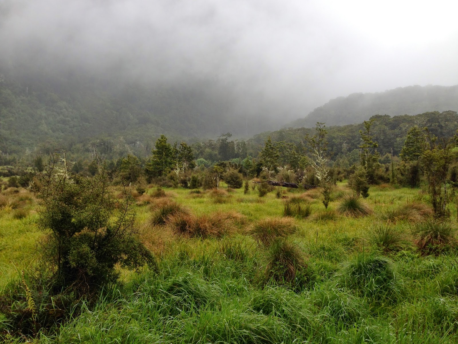 |
The clearing
|